
**Written for Bangor Daily News and originally printed on April 24, 2026**
Springtime in the Maine woods is a busy season full of new life, and one of the first animals I try to capture with my cameras is moose calves. Early June is when a lot of cows drop their calves — usually singles, or if you’re lucky, twins. The calves stay tight to their mothers and hidden in thick cover while they get stronger on milk and the fresh browse.
If you’re going to try and get pictures of a cow with her young calf, you’ll need to set your cameras in spots with good security and early green-up. Cows look for thick cover to stay safe from predators, plus easy access to tender new growth and water.
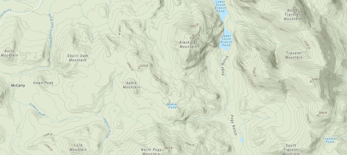
Like all my camera locations, these start with a ton of work in front of the computer during the offseason. I already have a pretty good idea where to start — generally the areas that abut the Canadian border have the highest concentration of moose, especially if they’re actively logging in those zones. Moose generally need that mix of softwoods and hardwoods.

If you’re curious about moose numbers, you can check the latest Maine Inland Fisheries and Wildlife (IF&W) moose harvest reports on their website. They break everything down by Wildlife Management District (WMD) and clearly show which zones have the highest concentration of moose and best success rates year after year.
I like to focus on 10- to 15-year-old cuts for moose calves. At that age the regrowth is thick enough to give them good cover and security, but the old twitch trails are still open enough for easy walking and plenty of browse along the edges. Fresher cuts are usually too open and there’s almost nothing for them to eat.


From there, I bounce between a few different sites to piece it together. On Google Earth I use the historical timeline slider and go back year by year — for most of Maine the imagery goes back to the early 2000s and usually updates in 2-3 year increments. It’s easy to spot the clear cuts, strip cuts, and especially the new roads that were punched in. Bing Maps has some of the best recent satellite images for spotting game trails in the cuts, and onX is where I really dial it in — I turn on the LiDAR layer to see the topography, look for saddles, benches, and pinch points where animals like to travel then I drop a pin so I know where to go look once I get a chance.
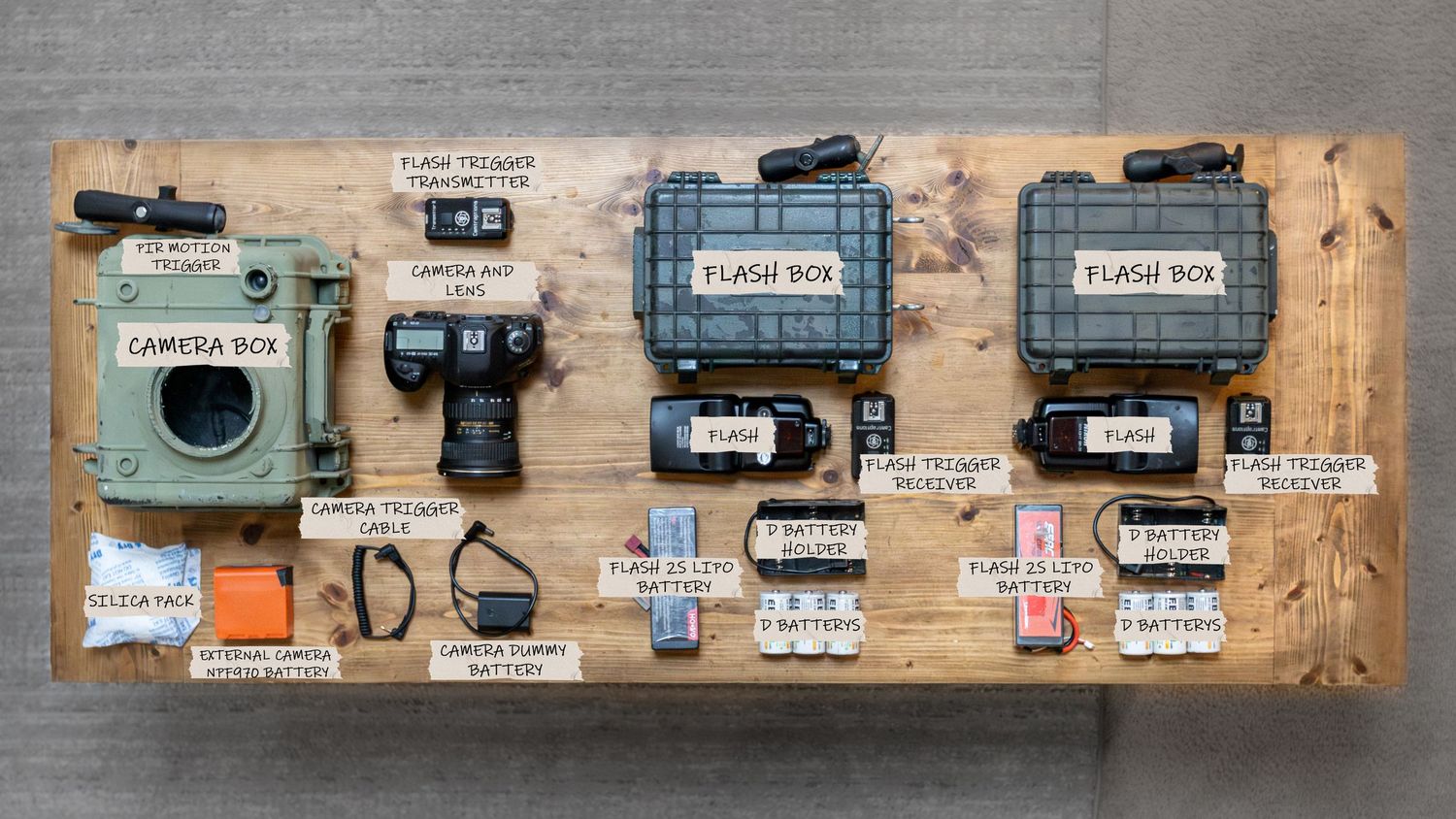
Over the years all the scouting and hiking have shown that the best spots are usually in those cuts on the larger old twitch trails. I set the cameras right in the middle of those trails where the sign is strongest. I try to face them north when possible, to cut down on sun glare, and I always mount them on a solid enough tree so the wind doesn’t shake the trunk and cause false triggers. I set them at eye level for the animals or even a little lower. That way the pictures feel like you’re right there in their world instead of looking down on them.
Because these same productive cuts and trails are spots where a lot of wildlife likes to move through, they also pull in quite a few bears. Black bears are the biggest predator of moose calves in the spring, so you really can’t have one without the other around here. In early June the bears are just out of their dens and hungry — they’re out foraging hard on new green stuff, shoots, insects, and whatever else they can find. Sows with cubs are moving through the same areas too, so it’s a great time to catch both sides of spring.


This method has given me some of my best cow-calf photos or videos over the years. There’s just something pretty cool about pulling a card and seeing a cow walking through with her tiny calf right behind her — maybe even two. Makes all the offseason work and the hikes worth it.
